1
/
of
2
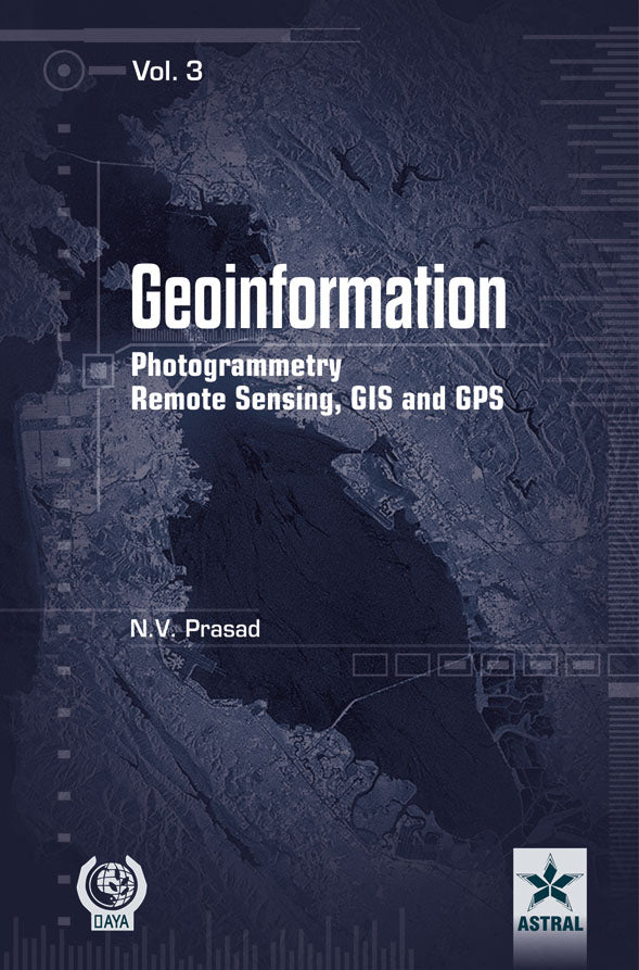
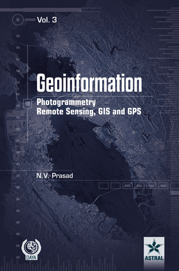
Geoinformation Photogrammetry Remote Sensing, GIS and GPS in 3 Vols By N.V. Prasad
Geoinformation Photogrammetry Remote Sensing, GIS and GPS in 3 Vols By N.V. Prasad
Regular price
Rs. 5,246.00
Regular price
Rs. 6,995.00
Sale price
Rs. 5,246.00
Shipping calculated at checkout.
No reviews
Quantity
Couldn't load pickup availability
Product details
Publisher : Daya Publishing House
Author : N.V. Prasad
Language : English
Edition : Latest By Publishers
Book Cover : Hard Back
ISBN : 9789351246183
Table of Content
ForewordviiPrefaceixVolume 11.INTRODUCTION1Geoinformation-An Overview2.PHOTOGRAMMETRY19Introduction to Photogrammetry Evolution of Photogrammetry Principles of Photogrammetry Elements of Analytical Photogrammetry Photogrammetric/Aerial Cameras Geometric Characteristics of Aerial Photographs Measurement of Height and Parallax Aerial Triangulation Digital Orthophotography Satellite Photogrammetry Radargrammetry Digital Photogrammetry Photogrammetric Equipment Close-Range Photogrammetry: ApplicationsVolume 23.REMOTE SENSING305Remote Sensing: Concept and History Principles of Remote Sensing Electro Magnetic Radiation and Radiation Principles Sensors Platforms Spaceborne Sensors and Satellite Missions Aerial Photography Thermal Remote Sensing Microwave Remote Sensing Hyperspectral Remote Sensing Digital ImageProcessing Geometric Correction Radiometric Correction Image Enhancement and Visualisation Digital Image Classification Visual Image Interpretation Remote Sensing ApplicationsVolume 34.GEOGRAPHIC INFORMATION SYSTEMS (GIS)597Introduction to GIS Components and Functional Elements of GIS GIS Data Models Spatial Data Analysis and Modelling Digitising Editing and Structuring of Map Data Digital Elevation Models Database Management System (DBMS) Decision Support Systems (DSSs) GIS Applications GIS in Urban Planning GIS in Environmental Monitoring and Disaster Management Acquiring and Implementing a GIS GIS Software and Vendors Recent Trends in GIS Future GIS Legal Issues of GIS5.GLOBAL POSITIONING SYSTEM (GPS)873GPS: Concept Components and ApplicationsBIBLIOGRAPHY909INDEX919
Materials
Materials
Paper
Shipping & Refunds
Shipping & Refunds
Share


1
/
of
4


